GFP Note: 70 knots = 80 miles per hour.
Source: The Watchers - 2/14/13, By Chillymanjaro
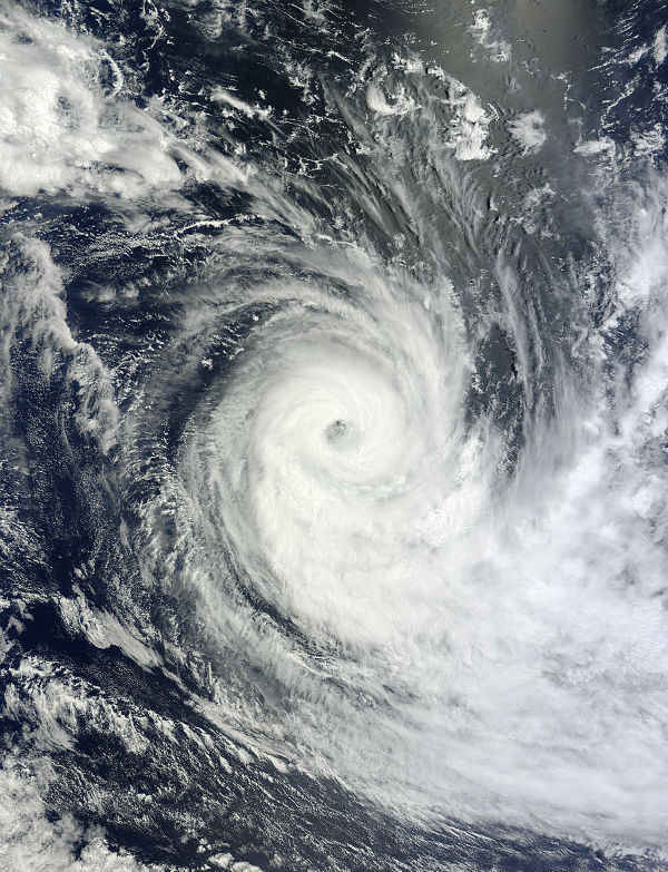
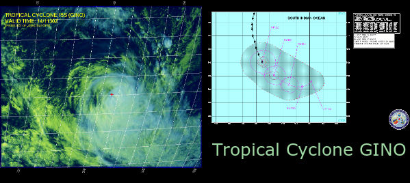
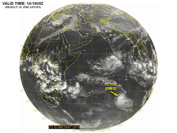
Gino formed as a tropical storm over the southern Indian Ocean on February 11, 2013, and strengthened into a cyclone the next day. On February 14, the U.S. Navy’s Joint Typhoon Warning Center (JTWC) reported that Gino was located roughly 1,110 nautical miles (2,055 kilometers) south-southeast of Diego Garcia. The storm had maximum sustained winds of 70 knots (130 kilometers per hour), with gusts up to 85 knots (155 kilometers per hour). The JTWC forecast that the storm would weaken over the next 24 hours.
The Moderate Resolution Imaging Spectroradiometer (MODIS) on NASA’s Terra satellite captured this natural-color image of Gino on February 13, 2013. At the time MODIS took this picture, Gino had both the spiral shape characteristic of strong storms, and a well-defined eye. (NASA image courtesy Jeff Schmaltz, LANCE MODIS Rapid Response. Caption by Michon Scott.)
Satellite Animations
- Storm-Centered Infrared (Meteosat 7; CIMSS)
- Storm-Centered Enhanced Infrared (Meteosat 7; CIMSS)
- Storm-Centered Water Vapor (Meteosat 7; CIMSS)
- Storm-Centered Visible (Meteosat 7; CIMSS)
- Meteosat 7 Infrared (Meteosat 7; CIMSS)
- Meteosat 7 Infrared (Color Background) (Meteosat 7; CIMSS)
- Meteosat 7 Infrared (NHC Color Enhancement) (Meteosat 7; CIMSS)
- Meteosat 7 Water Vapor (Meteosat 7; CIMSS)
- Meteosat 7 Water Vapor (Color Background) (Meteosat 7; CIMSS)


