The Watchers - 30 April 2013 - by Chillymanjaro

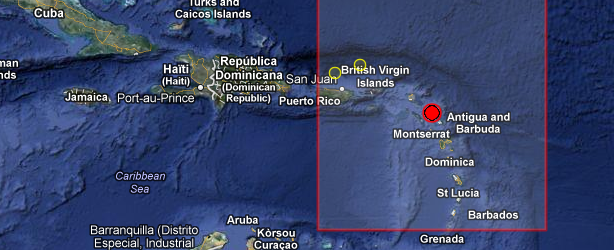
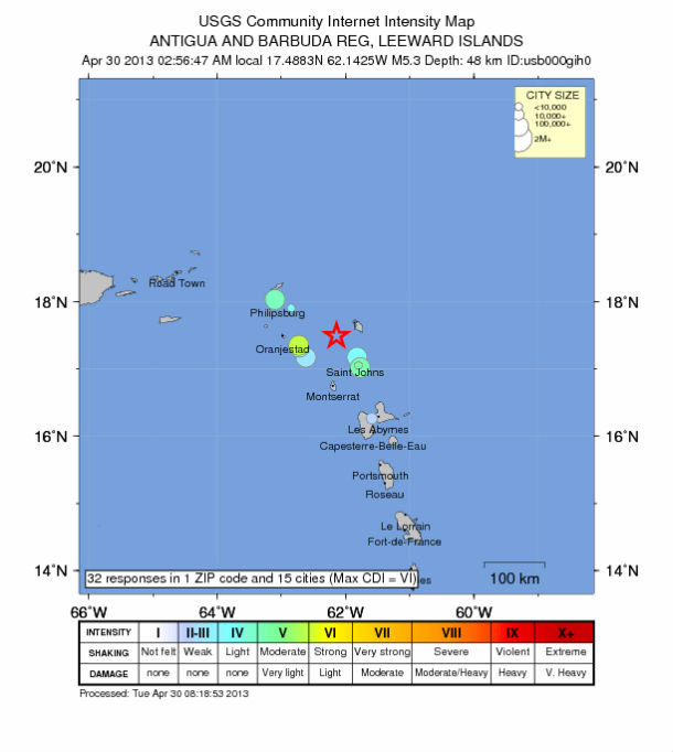
A strong earthquake registered as M 5.3 occurred off the coast of Barbuda in eastern Caribbean, on April 30, 2013 at 06:56 UTC. The epicenter was located in sea, about 50 km off the coast or 37 km (22 miles) WSW of Codrington, Barbuda, 51 km (31 miles) NW of Saint John’s, Antigua and Barbuda, 65 km (40 miles) ENE of Basseterre, Saint Kitts and Nevis, 136 km (84 miles) NNW of Sainte-Rose, Guadeloupe at coordinates 17.488°N, 62.142°W. USGS reported depth of 48.9 km (30.4 miles) and EMSC registered M 5.4 at depth of 48 km.
| Magnitude | 5.3 |
|---|---|
| Date-Time |
|
| Location | 17.488°N, 62.142°W |
| Depth | 48.9 km (30.4 miles) |
| Region | ANTIGUA AND BARBUDA REG, LEEWARD ISLANDS |
| Distances | 37 km (22 miles) WSW of Codrington, Barbuda 51 km (31 miles) NW of Saint John’s, Antigua and Barbuda 65 km (40 miles) ENE of Basseterre, Saint Kitts and Nevis 136 km (84 miles) NNW of Sainte-Rose, Guadeloupe |
| Location Uncertainty | horizontal +/- 13.5 km (8.4 miles); depth +/- 8.2 km (5.1 miles) |
| Parameters | NST= 67, Nph= 68, Dmin=42.3 km, Rmss=0.87 sec, Gp= 86°, M-type=body wave magnitude (Mb), Version=9 |
| Source |
|
| Event ID | usb000gih0 |
Antigua and Barbuda is a twin-island nation lying between the Caribbean Sea and the Atlantic Ocean. It consists of two major inhabited islands, Antigua and Barbuda, and a number of smaller islands. Separated by a few nautical miles, Antigua and Barbuda are in the middle of the Leeward Islands, part of the Lesser Antilles, roughly at 17 degrees north of the Equator.


